
Project Info
Project Description
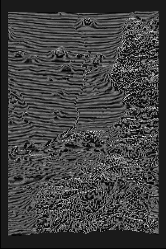
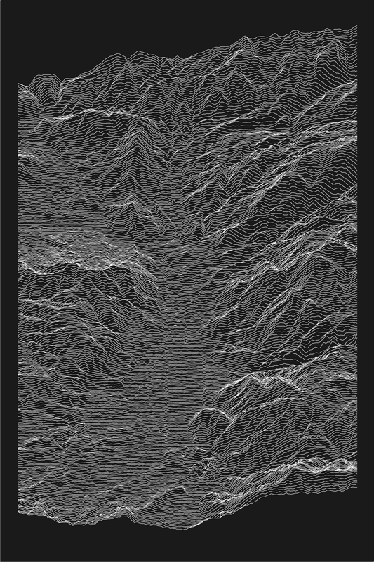
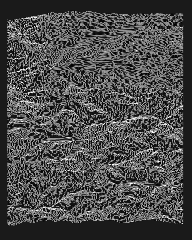
Artist Statement/Bio: As a computational ecologist, I spend a lot of time looking at and thinking about data from landscapes across the American west. I wanted to use my coding skills to convert data into art to show the beauty of those landscapes. After trying a few approaches, I decided to make topographic maps from elevation data using ridgelines running east to west, tracing the surface of the landscape, rising and falling with the elevation changes. Although I do make maps for other folks, I mostly make them for myself, choosing places where I’ve either lived or done fieldwork and that hold special significance to me.
The elevation data are all from publicly-available sources—including the USDA National Resources Conservation Service’s Geospatial Data Gateway—and I’ve made the code available on GitHub for anyone who wants to try making their own.